dimanche 31 juillet 2016

Aletschgletscher

Mi-juillet, avec les enfants on a fait une superbe randonnée au dessus du glacier d'Aletsch, dans le canton du Valais. Depuis Bettmeralp jusqu'à Fiescheralp, en passant par le Märjelensee. J'étais passé par là plusieurs fois, c'est toujours aussi beau...

Mid-July, the kids and I did a wonderful hike above the Aletsch glacier, in canton Valais. From Bettmeralp to Fiescheralp, via Märjelensee. I went there a few times before, it is still amazing...

_______________________

Depuis Betten dorf, téléphérique pour Bettmeralp, suivi Märjelensee puis Fiescheralp en prenant le tunnel.

From Betten dorf, cable car to Bettmeralp, followed Märjelensee and Fiescheralp through the tunnel.


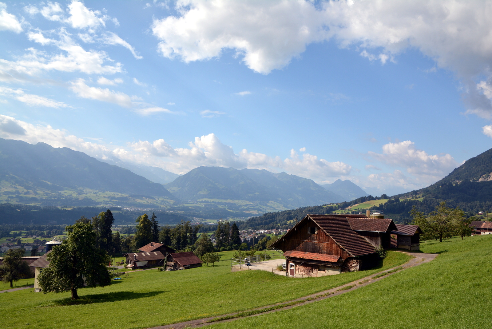
Bettmeralp. Le charme du Valais.


Rapidement, on passe au dessus du Bettmersee. Alpenrosen et alpes valaisannes.

Quickly above the Bettmersee. Alpenrosen and Valaisan Alps. 


Une petite montée vers la crête entre les alpages et le glacier.

Short climb to the ridge between pastures and the glacier.


Et voila le glacier d'Aletsch. Le plus grand des Alpes avec environ 23 km de long, 1 à 2 km de large et jusqu'à 900 mètres d'épaisseur. Un monstre qui rétrécit pourtant chaque année (vous voyez les moraines ?). L'occasion d'expliquer aux enfants tout un tas de choses...

And here's the Aletsch glacier. The biggest in the Alps, with nearly 23km long, 1 to 2 wide and up to 900 meters deep. Massive but shrinking every year, see the moraines? Good opportunity to teach the kids a few things...


Panorama. De gauche à droite / left to right: Nesthorn, Aletschhorn & Wännenhorn.  


Pause photo :-)


La photo écrase les distances, d'ailleurs même à l’œil nul c'est difficile de comprendre l'échelle.

It's difficult to understand the size here, even with the naked eyes...


 Mes ptits champions.


L'Aletschhorn (4193 m). J'étais censé le grimper la semaine suivante mais le mauvais temps m'a emmené sur Chamonix à la place.

Aletschhorn (4193 m). I was supposed to climb the week after that but bad weather forecasts brought me to Chamonix instead.


Märjelen, pause pour faire des cairns :-).


On est allé toucher le glacier. Ils confirment, c'est froid. C'est là qu'on réalise la taille de l'engin...

We touched the glacier, it's cold they confirmed. You realize here the size of this thing.


Remontée vers Gletscherstube.

Up to Gletscherstube.


Le tunnel très pratique pour revenir sur Fiescheralp, ça évite une heure de randonnée. Une frontale n'est pas absolument nécessaire mais pratique.

Very convenient tunnel to go back to Fiescheralp, saves one hour hiking. Headlamp is useful not mandatory.


De l'autre coté, superbe vue sur le Fieschergletscher, un autre mastodonte. La haut, la région de l'Oberaar, où Dante et moi avions traîné nos crampons l'an dernier.

On the other side, gorgeous view on the Fieschergletscher, another big glacier in the area. Above that's the Oberaar region where Dante and I went last year.


Depuis la sortie du tunnel, c'est un chemin large et facile qui nous emmène à Fiescheralp. Du coup, Chloé prends les choses en main.

Since we got out of the tunnel, it's an easy and wide path taking us to Fiescheralp. So Chloé took the lead.


Après 5 heures d'effort, nous y voila. 

After 5 hours of effort, there we are.


Fletscherhorn, Cervin/Matterhorn, Weissorn - Bishorn


Les même au crépuscule. Fiescheralp c'est beau...

The same at dusk. Fiescheralp is a nice place...


Randonnée toujours aussi spectaculaire. Faut parfois tenir les enfants en main mais relativement facile tout de même. Ils ont aimé, c'est le principal...

Still so spectacular. You sometimes need to take the kids by the hands but mostly easy. They love it, that's all I hoped...

N

Tour du Haupt

Après une longue rando au Pilatus la veille, je conclus le week-end par un tour du Haupt, du coté de Melchsee-Frutt. Il avait moyen de monter au Haupt en plus mais j'avais mon compte.

After a long hike up to Pilatus the day before, I'm doing a tour around Haupt, near Melchsee-Frutt. I coulda climb Haupt too but I had enough already.

 _________________________________________

Stöckalp, Bachegg, Seefeld, Abgschütz, Melchsee-Frutt (téléphérique/cable-car).


Départ de bonne heure à Stöckalp (1070 m), au fond de la Melchtal.

Early start in Stöckalp (1070 m) at the end of the Melchtal.


Après une montée efficace dans la forêt, j’émerge du vallon Innenbach.

After a steep climb in the forest, I'm almost out of the Innenbach glen.


A l'alpage, la belle pointe de Haupt (2312 m). De ce coté, ça n'a pas l'air simple...

At the pasture, Haupt (2312 m) is one sharp peak. From that side, it does not look easy...


A l'est, la Melchtal, d'où j'arrive.

Looking east, Melchtal valley, where I came from.


Un peu plus loin, je surplombe le 'Mittelpunkt der Schweiz', le point géographique central de la Suisse. Le cadre est on ne peut plus suisse :-).

Soon, I end up above the 'Mittelpunkt der Schweiz', the geographical middle point of Switzerland. It does look Swiss :-).


Seefeldsee (1820 m). Au dessus, un petit col pour revenir sur Melchsee.

Seefeldsee (1820 m). Above, a tiny pass to get back to Melchsee.


Photo depuis ce col. Au fond, la vallée Kleine Melchtal et la Höh Grat.

Photo from that pass. Behind, that's the Kleine Melchtal valley and the Höh Grat.


De l'autre coté, c'est l'Oberland bernois :-). Wetterhorn, Mönch et Eiger principalement.

On the other side, the Berner Oberland :-). Wetterhorn, Mönch and Eiger.


Fin de la montée, j'arrive au col d'Abgschütz (2260 m). J'étais déjà passé par là en faisant le Glogghüs. Je vais laisser la longue crête qui mène au Haupt pour descendre vers Melchsee-Frutt, dont on voit le lac. Au fond, le Titlis. Tout à gauche, la pointe du Nünalphorn.

I'm done climbing for today, I made it to Abgschütz, a pass at 2260 m. I was there once when I did the Glogghüs. I'll ignore this long ridge going to Haupt and instead get down to Melchsee-Frutt (we see the lake). On the background there's Titlis. To the very left hand side, Nünalphorn.


Blausee.


Haupt


La belle descente en téléphérique depuis Melchsee.

Nice cable car downhill from Melchsee.


J'aime vraiment cette région de Melchsee-Frutt. Des lacs, des montagnes techniques, des randonnées magnifiques été comme hiver, des beaux alpages. C'est top.

I really like the Melchsee-Frutt area. Lakes, difficult mountains, beautiful summer or winter hikes, nice pastures. Classy.

Pilatus

Début juillet, j'ai été finir une longue randonnée au Pilatus, commencée en 2013. J'étais parti du col du Glaubenberg et j'espèrais finir au Pilatus. Les nuages et la fatigue m'avaient fait descendre de la crête plus tôt que prévu. Cette fois je remonte sur la crête et je la termine !

Early July, I finished a long hike up to Pilatus that I started in 2013. Back then I started from Glaubenberg pass and hoped to go up to Pilatus. Tiredness and clouds teamed up against that plan. Today I'm back on the ridge to finish this!

______________________________________

Depuis Alpnachstad, droit vers la Tripolihütte puis Mittaggüpfi, Tomlishorn et Pilatus. Descente en funiculaire.

From Alpnachstad, straight to Tripolihütte. Then Mittaggüpfi, Tomlishorn and Pilatus Kulm. Cogwheel train back down.


Départ d'Alpnachstat (430 m) au pied de la Pilatus Bahn.

Start from Alpnachstat (430 m) and Pilatus Bahn.


La vallée principale du canton d'Obwald. On devine l'entrée de la Melchtal. Tout au fond je crois voir Güpfi.

The main valley of canton Obwald. You can guess the entry to the Melchtal. On the background I think I see Güpfi.


Montée pas fatiguante sur les routes d'alpage (Lütoldsmatt).

Easy way up on a road between pastures (Lütoldsmatt).


Wängen (1570 m).


Tripolihütte (1763 m).


Je suis sur la crête. Derrière moi, les régions du Glaubenbergpass au loin et celle d'Entlebuch à droite en bas.

I'm on the ridge now. Behind me, Glaubenbergpass (ahead) and Entlebuch (right side, below) areas.


Devant, la montée vers le Mittaggüpfi (1917 m).

In front, the way up to Mittaggüpfi (1917 m).


Je descend du Mittaggüpfi, comme il y a 3 ans, les nuages gâchent un peu les photos. En bas c'est l'Eigenthal et en face en devrait voir le reste du Pilatus (Tomlishorn, Kulm).

Coming down the Mittaggüpfi and like 3 years ago the clouds are ruining the pictures. Down there that's Eigenthal and ahead you should see the rest of the Pilatus range (Tomlishorn, Kulm).


Mittaggüpfi loin derrière à présent.

Mittaggüpfi far behind me now.


Je laisse tomber le petit détour au Widderfed, l'un des sommets de la crête du Pilatus. Le sentier descend et passe en dessous. Il y a un passage légèrement technique équipé d'un câble.

I ignored the little detour to Widderfed, one of the summit of the range. The path goes around and below it. Slightly technical section, equipped with a cable.


Du vent et des nuages. En face le Tomlishorn (2128m) et une joli crête légèrement exposée pour y arriver.

Wind and clouds. Ahead that's Tomlishorn (2128 m) and a nice slightly exposed ridge to get to it.


En haut du Tomlishorn, le plus haut sommet de la crête. Pilatus Kulm à gauche et Matthorn à droite. Lac des Quatre-cantons en bas.

On top of Tomlishorn, the highest peak of the range. Pilatus Kulm to the left and Matthorn to the right side. Lake Lucerne down there.


A partir du Tomlishorn, c'est tourisme de masse jusqu'au Pilatus Kulm. Sentier goudronné et hyper sécurisé. Ça reste joli mais on n'est plus seul :-).

From Tomlishorn to Pilatus Kulm, it's mass tourism. Path is paved and made super safe. It's still pretty but you are not alone anymore :-).


Pilatus Kulm, gare d'arrivée du téléphérique et du funiculaire.

Pilatus Kulm, cable car and cogtrain station.


Et c'est parti pour une longue descente bien raide en funiculaire. En face c'est le Stanserhorn.

Here we go for a long steep downhill in the cogwheel train. Ahead that's Stanserhorn.


Je suis monté au Pilatus plusieurs fois, c'était la première de ce coté-ci. C'est joli par ici, belle crête fleurie et impressionnantes vues au loin.

I went up Pilatus a few times but from this side that was a first. It's pretty, beautiful and flowered ridge with stunning views.

N